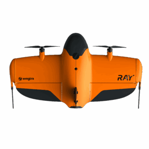
WingtraRAY הוא הדור הבא של רחפני המדידה מסוג VTOL – מיועד למהנדסים, מודדים וחברות המבצעות פרויקטים מורכבים הדורשים כיסוי שטח רחב, מהירות עבודה גבוהה ודיוק סנטימטרי עקבי.
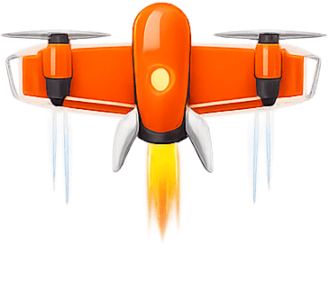
– המראה ונחיתה ללא מסלול – טיסה אופקית יעילה ומהירה – יציבות גבוהה גם בתנאי שטח מאתגרים
התוצאה: תפוקה גבוהה יותר בפחות זמן, עם פחות סיכונים בשטח.
למי WingtraRAY מתאים?
– פרויקטי תשתיות רחבי היקף – מדידות שטחים פתוחים גדולים – כבישים, מסילות ונתיבי תחבורה – מחצבות וכרייה – אנרגיה מתחדשת – תכנון אזורי ותב"ע – רשויות מקומיות וחברות הנדסה