WingtraPilot
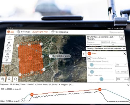
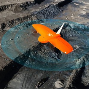
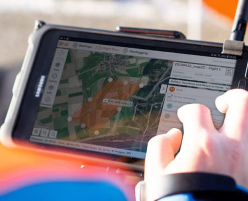
Increase survey success through a smart mission planning software. WingtraPilot is the intuitive drone software to manage WingtraOne’s data acquisition process. It includes various ways to prepare flight plans, as well as monitor and revise missions during flight.
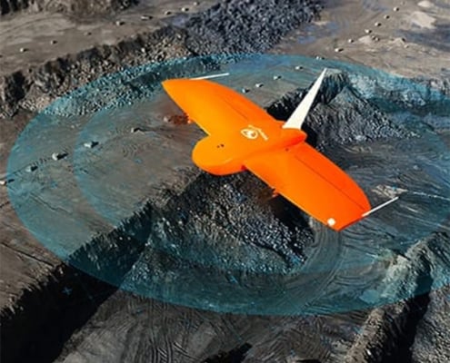
Fully autonomous: Simply tap the screen and select the area you want to map to plan your missions with WingtraPilot. After you confirm the mission, the WingtraOne takes off, captures aerial images and lands without any human interaction. Additionally, you can trigger automatic return to home (RTH) anytime, and your drone will come back automatically to its take-off location called “home".
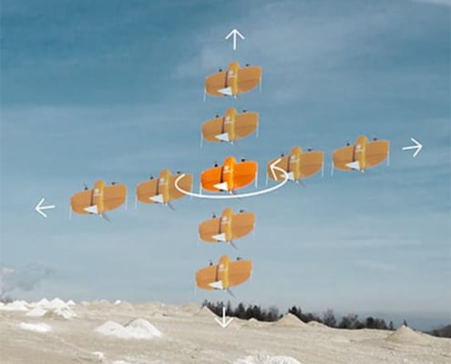
Manual take-over: During the entire flight, WingtraPilot drone flying software provides you with live feedback from the WingtraOne up to 10 km (6 mi) away. You can intervene at any time and abort the mission by selecting RTH from the tablet. If any obstacles emerge in flight or around landing, you can select the manual flight mode and guide the drone intuitively with the remote control.
Corridor mapping: The corridor mapping feature enables fast, efficient coverage of long, narrow stretches. It proves especially useful for the following types of aerial mapping projects: road construction; inspection or maintenance; railway track monitoring and inspection; pipeline and power line inspection, and environmental research, e.g., river mapping.
Terrain following: The terrain following function relies on global terrain models and allows safe and effective mapping from steady altitudes in even in the most mountainous areas.

